
Finding Brownstown Township Residents
Use the official record that matches the question. A current address is best handled as a parcel search. A name tied to a past household is better suited to a directory, obituary, census, or deed trail. Brownstown Township does not have one open master roll of everyone living there, and an owner, taxpayer, voter, or directory listing answers a different question. That difference is important when two people have the same name or an address uses a neighboring postal city.
Start with one reliable detail and add a second independent source before treating a result as a match. Keep the search date, the jurisdiction, the exact spelling, and the type of record. A missing hit can reflect an old parcel number, an indexing choice, a protected record, or the wrong municipal label. It does not prove that no relevant record exists.
- Normalize the mailing address with USPS, keeping the original postal city and ZIP.
- Choose Brownstown Twp in the Wayne County Treasurer search and find the address or parcel.
- Open the Brownstown BS&A parcel card for the situs, parcel identifier, owner or taxpayer fields, and available history.
- Use the Wayne GIS map to check the parcel geometry, road name, and township context.
- Search the Register of Deeds by grantor and grantee, then use historic directories or archival sources only when the date fits.
Note: The parcel chain is a strong way to organize research, but it does not establish who currently occupies a home.
Brownstown Township Resident Record Offices
Wayne County supplies the main parcel, tax, title, and court routes for Brownstown Township. The township portal supplies another view of property and municipal modules. Michigan agencies hold statewide vital and voter processes. For a street-by-street property trail, the Brownstown Township street directory keeps the full address sequence in one place. Each office has a distinct custodian role, so a record should be requested from the office that actually holds it.
Wayne County Register of Deeds
400 Monroe, 7th Floor
Detroit, MI 48226
Wayne County Public Search
Brownstown Township Property Records
Wayne County, Michigan
Property, tax, building, and available municipal modules
Brownstown Township BS&A
Michigan Election Records
State, county, and local clerk custodians
Individual status and controlled QVF requests
Michigan Voter Information Center
Brownstown Township Parcel Search Fields
The Brownstown Township BS&A portal identifies the municipality as Wayne County, Michigan, uid 415. It offers All Records, Assessing, Building Department, Delinquent Personal Property, Miscellaneous Receivables, Tax, and Utility Billing categories. Search choices include address, name, parcel number, utility account number, customer ID, invoice number, and building record number. An address range can help when a public street interval is needed, but the published record still should be used narrowly.
| BS&A field | Use for a Brownstown Township search |
|---|---|
| Address or street number | Find a situs location and, where available, an address range. |
| Name | Find a published owner or taxpayer lead, not proof of an occupant. |
| Parcel number | Use the strongest local property key after a Treasurer or GIS match. |
| Map, print, and record modules | Check available property, tax, sale, building, utility, or permit material. |
Open the BS&A property search before using its categories. The screenshot shows the Brownstown search surface. Published modules can change, and a blank tab is not proof that a record never existed.
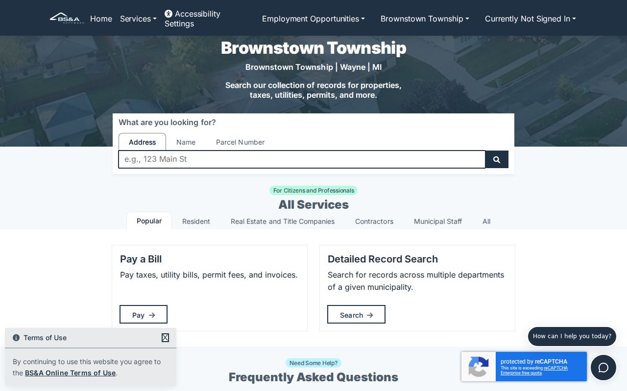
The parcel card becomes more useful when its legal description and tax year are compared with a deed record or county map.
Brownstown Township Tax Roll Checks
The Wayne County Treasurer portal is a separate Brownstown Township cross-check. It accepts street number, street name, municipality, and parcel ID. The portal advises entering at least the first three street letters, leaving off the suffix, and using a partial street number or no number to search a broader street. Brownstown Twp appears in the municipality selector. Non-Detroit parcel identifiers are described as 14 to 16 characters without spaces or dashes.
The Treasurer search has no ZIP field. That matters because Brownstown addresses may carry Flat Rock, Rockwood, Romulus, Trenton, or Riverview postal labels. Compare its municipality result with the parcel record rather than assuming the postal city resolves the township. A no-result can also be a formatting issue, a historical parcel, or a different municipal listing.
Use the Wayne property-tax search after USPS normalization. Its municipality filter and parcel option are visible in the captured interface.
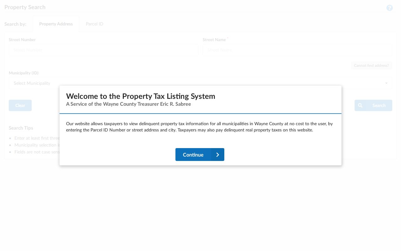
Matching the same parcel in both county and township systems is a sound first check before researching the title trail.
Wayne Deeds Behind Brownstown Township Names
The Wayne County Register of Deeds public index is strongest for a recorded ownership trail. Its free route searches grantor or grantee names and returns index information. The county says recorded documents date to January 1, 1960, while another Register statement refers to post-1986 online images. Treat those as different coverage claims and confirm access for the particular instrument.
Expanded address, legal-description, parcel, tax-ID, liber/page, and image work may require the paid On-Demand route or an office or mail request. The county lists a $6, 15-minute On-Demand session plus fees, while office research, copies, certification, and mail searches have their own current charges. Start by recording the party names, instrument type, recording date, document number or liber/page, and legal description. Follow the grantee backward to the earlier grantor rather than assuming a name-only result identifies a resident.
Start at the Register public search to see the index boundary shown to ordinary users.
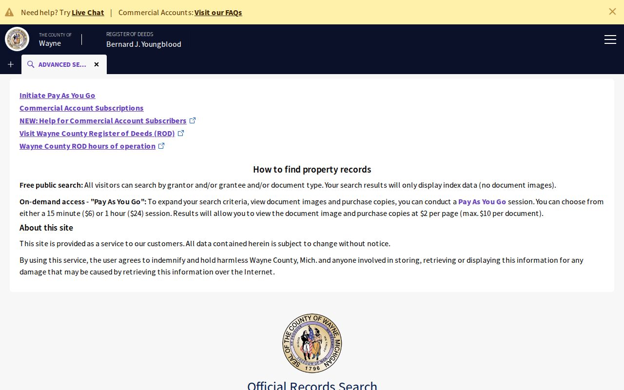
The register page establishes an ownership instrument trail, not a current household list. Legal descriptions are often the best bridge when an old street number has changed.
Mapping Brownstown Township Parcels
Wayne County Maps and Data provides an interactive route for zooming, panning, selecting, and checking parcel geography. The inspected Parcel Viewer service exposes a parcel and address layer, not a complete resident, ownership, zoning, flood, or survey system. Select the target parcel, record the parcel identifier and visible address or legal-description cues, then look at adjacent geometry and road continuity.
GIS is useful because Brownstown Township’s shape and neighboring municipal labels can make a simple postal match misleading. A parcel on a shared road may require a separate municipality check. Save the map date and the selected layer, then reconcile the map with BS&A and the recorded legal description. The map point itself is not a legal survey.
The county GIS service is shown in this parcel-viewer capture.
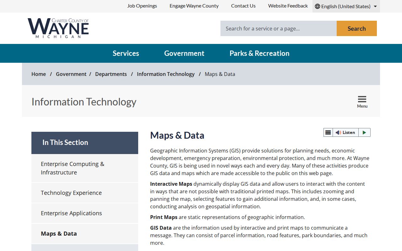
For a nearby-parcel question, use geometry to understand the block, then avoid treating physical proximity as evidence of a personal relationship.
Current Brownstown Township Resident Sources
Current directory-style material in Brownstown Township is scattered among property, title, election, court, and state systems. The source should be chosen for the fact it can actually support. A parcel record may show an owner or taxpayer. A court index may show a public case entry. A voter route has tight limits. None should be stretched into an all-purpose roster.
| Brownstown source | What it can show | Custodian | Access route |
|---|---|---|---|
| BS&A assessment card | Situs, parcel/account, published owner or taxpayer, values, and available history. | Brownstown Township | Free portal, municipal modules vary. |
| Treasurer property tax record | Street, parcel, municipality, and current tax-listing context. | Wayne County | Free portal. |
| Register deed index | Grantors, grantees, instrument and recording details. | Wayne County | Free name index; expanded routes may cost. |
| QVF or individual voter route | Lawful registration information in the applicable process. | Michigan and local clerks | Individual MVIC or controlled request. |
| Historical directories and newspapers | Time-specific household, address, occupation, notice, or burial leads. | Libraries and archives | Collection-specific. |
For one named person, begin with a time and place, then use the Brownstown Township resident lookup sequence to compare independent records. Owner, taxpayer, mailing recipient, and occupant remain separate categories until a suitable record connects them.
Michigan Voter and Court Lookup Limits
The Michigan Voter Information Center is intended for an individual checking their own registration, polling place, and ballot information. It is not an open Brownstown Township name search. A statewide Qualified Voter File request is separate. Under Michigan guidance, public QVF fields can include name, residential and mailing address when available, year of birth, registration date, status, voter ID, and history, while driver or state ID, month and day of birth, phone, email, signature, partial SSN, and protected-address information are redacted.
For court research, select 33rd District Court in MiCOURT D33 for Brownstown-area district matters. The name path requires a last name or business, with first, middle, and birth year optional. Results are informational. Sealed and omitted categories do not appear, and a same-name case requires a direct court check before it can be tied to a person.
The MiCOURT D33 search shows its court-selector and name-search interface in the image below.
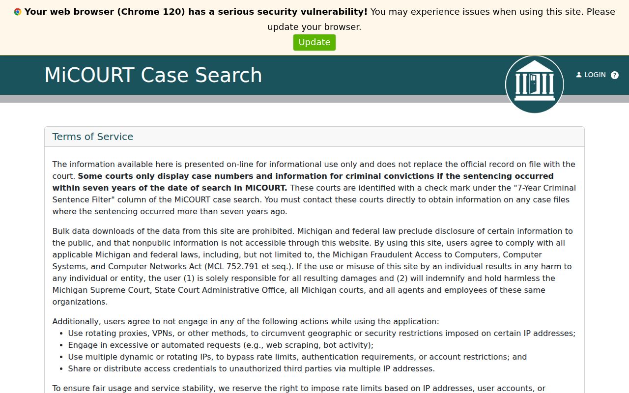
Use a public docket hit as a lead, then compare court, date, identifier, and other lawfully available details. A no-result is not proof of no matter in another court or a protected category.
Brownstown Township Search Terms Defined
Records become easier to compare once the labels are kept precise. Brownstown Township sources may use a property address, a tax account, a recorded party, and a directory household for different purposes. The distinctions help prevent a parcel result from being reported as a current-residence finding.
- Parcel
- A mapped unit of property used in tax, assessor, and GIS systems. It can be split or combined over time.
- Roll
- A government-maintained list or record series, such as an assessment or voter file, with a defined use and access rule.
- Index
- A finding aid that points to a record. A name in an index may not include the complete document image.
- Criss-cross directory
- A historical directory arranged by street and house number, often giving the printed head of household and owner or renter notation.
That vocabulary also helps with a title search. The owner or grantee is a title party; a taxpayer receives an account record; a mailing address receives notices; and an occupant is someone who actually lives there. Only the source that speaks to that role can support it.
Brownstown Township Historical Directory Leads
Printed directories and local history collections make the historical portion of a Brownstown Township residents directory more useful than a modern property listing alone. The Library of Michigan explains that Polk directories can have surname and street sections, while Bresser criss-cross volumes work from street and house number. The catalog, print shelves, microfilm room, and licensed digital collections are separate access channels. Exact Brownstown-only shelf years were not established in the research, so confirm a particular volume before relying on it.
Trenton Veterans Memorial Library serves Brownstown and provides genealogy eResources, including MyHeritage Library Edition, MeLCat, and in-library Ancestry Library Edition. Brownstown Historical Society offers a museum and a promoted online database, though its exact fields and coverage remain unverified. The Brownstown Township city directory collections page gives the historical shelf its full treatment.
The start of local record keeping has its own caution. Sources agree that Brownstown was organized in April 1827, but they give April 5 and April 12 as competing dates. The Historical Society places the first township meeting on May 28, 1827. Preserve the source and date rather than silently merging them.
Brownstown Township Postal Geography
Postal geography is a practical Brownstown research issue. Five ZIP codes commonly associated with the township or its neighboring routes are 48134, 48173, 48174, 48183, and 48193. Their postal labels point to Flat Rock, Rockwood, Romulus, Trenton, and Riverview. Wayne County’s ZIP map dates from September 2019 and is a postal approximation, not a township boundary. Brownstown has a fragmented geography shaped by later incorporations, which adds another reason to retain the original address form.
Use USPS ZIP Code Lookup to normalize a mailing address, then compare the result with the Treasurer municipality, BS&A parcel, and county GIS map. USPS specifically warns that a ZIP result does not confirm a person or company at the address. A Trenton or Riverview mailing city may still need a Brownstown Township parcel check.
Brownstown Township Registry Searches
Some official systems answer narrowly defined public-safety or credential questions, not whether someone lives in Brownstown Township. Michigan OTIS requires at least a last name or offender number and covers people currently under MDOC supervision or within three years of discharge. It does not cover county jail, pre-sentence people, or all historical records. Keep the status and access date with any lawful search result.
The OTIS search displays fields that help distinguish names and coverage limits.
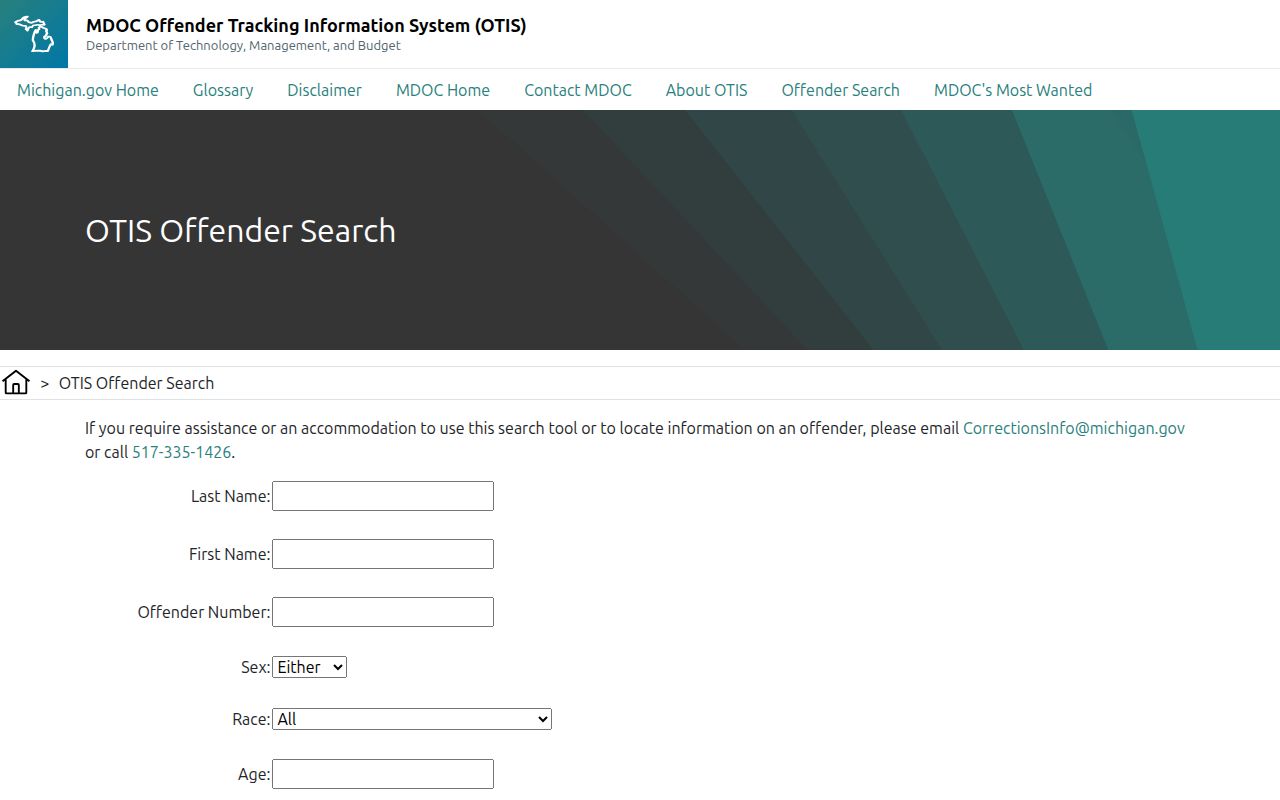
The Michigan public registry offers name, address, and neighborhood-radius modes for its published registry records. It is a public-safety tool with exclusions and is not a general residents directory.
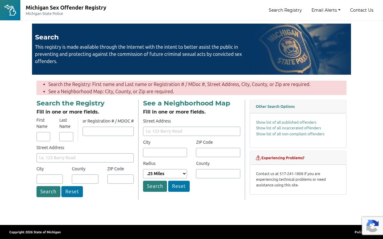
Use the registry only for its stated public-safety purpose. Its published address or radius results should never be treated as a universal record of neighbors or current residence.
Brownstown Township License and Fraud Checks
Michigan MiPLUS provides free professional-license searches. A result can show a licensee, credential type, issue or expiration dates, status, and disciplinary information. That is useful when someone needs to verify a regulated credential, but it is not a residence record or proof of current activity at a Brownstown Township address. Certified verification is listed at $15 per license and requires login.
The MiPLUS portal shows the state search entry point used for that limited verification.
For property safety, Wayne County’s Register of Deeds also offers Fraud Guard instructions through its land-record site. An alert is a signal to inspect a filing, not proof of fraud. The county’s Mortgage and Deed Fraud Unit says it does not replace the normal title, tax, probate, or legal-advice routes.
Michigan Privacy Boundaries for Residents
Michigan Freedom of Information Act, 1976 PA 442, MCL 15.231 et seq., permits a written request for existing, sufficiently described, non-exempt public records. It does not require a township, county, or state office to create a new resident list. The usual response period is five business days, with one written ten-business-day extension. Search, review, separation, copying, and mailing charges can apply.
Michigan’s Address Confidentiality Program supplies an eligible participant with a substitute address and mail forwarding. Protected addresses, driver and vehicle personal information, signatures, full dates of birth, ID numbers, sealed court records, and restricted vital records are not gaps to work around. Stop at the official access boundary and ask the custodian about the lawful route for non-exempt material.
Lawful use. Brownstown Township records are for lawful personal research, family history, title questions, civic work, and safety awareness. Do not use them to stalk, harass, intimidate, or harm anyone.
Documenting Brownstown Township Results
Finish each Brownstown Township search with a short source note: the portal or office, date inspected, search terms, record type, jurisdiction, result fields, and whether the match is exact, probable, possible, or unresolved. Keep a historical postal city beside a normalized postal value. Keep a parcel number beside the legal description. These small habits make it possible to revisit a result when a portal changes or a boundary question appears.
The research also supports a simple comparison: official record systems usually identify their custodian, scope, and access limits, while commercial listings may be stale or merge people with the same name. Prefer the official source for verification, use a library or archive for historical context, and take a no-result as a reason to check the next appropriate custodian rather than a final conclusion.
Note: Brownstown history searches may need Monguagon, Gibraltar, Rockwood, Woodhaven, or Flat Rock as historical jurisdiction terms, depending on the date.
Historic Brownstown Township Resident Directories
Brownstown’s historical search often needs more than its current name. A portion transferred to Monguagon in 1842, and Gibraltar, Rockwood, Woodhaven, and Flat Rock later incorporated from territory connected to the earlier township. Search the historical municipality, road, subdivision, legal description, and year together. The 1893 Library of Congress Wayne County atlas can connect landowner labels, roads, water features, and township-range-section references before modern parcel numbering.
Downriver Genealogical Society reports that its digitization work includes the Brownstown Times and had passed 210,000 scanned pages by September 2025. Newspaper notices, cemetery leads, and historical directories can add a date-specific household clue, but they still need corroboration from a deed, census, probate, vital, or other appropriate record.