
Search Brownstown Streets by Address
Use the same chain for one Brownstown Township address before looking at an entire road. USPS supplies the mailing form. Wayne County tax records and Brownstown BS&A supply a parcel or account clue. Wayne GIS locates the parcel and its adjoining geometry. The Register of Deeds then ties the parcel to a dated instrument and legal description. Historical directories, newspapers, and census records belong at the end of the chain, when the date makes them relevant. Preserve the original spelling, directional prefix or suffix, postal city, ZIP, municipality, parcel ID, legal description, source date, and any predecessor parcel number.
- Use USPS to normalize the mailing address without treating a postal city as the municipal jurisdiction.
- Search Wayne Treasurer by street or parcel, using Brownstown Twp in the municipality selector when it helps distinguish a tax listing.
- Check Brownstown BS&A by address, name, or parcel number and save the property key shown on the result.
- Select the parcel in Wayne GIS, compare road and boundary context, then retain the map layer and access date.
- Search the Wayne deed index for grantor and grantee names, then use the legal description to connect dated historical sources.
Each step narrows a record question. It does not turn a property, tax, or title result into proof of occupancy.
Brownstown Postal Names and Tax Search
Start by checking the address in the USPS ZIP Code Lookup. USPS normalizes mailing data, but its result does not confirm that a person or company is at the address. Brownstown's fragmented township geography and neighboring postal labels make that distinction important. Flat Rock, Rockwood, Romulus, Trenton, and Riverview can appear in a postal field even when the tax municipality is Brownstown. Store the original address and the standardized postal result as separate values.
The Wayne County Treasurer property-tax portal accepts street number, street name, municipality, or parcel ID. Use at least the first three letters of a street name, omit the street suffix, and use a partial number or blank number only when a broader street result is actually needed. Brownstown Twp is available in the municipality dropdown. The portal has no ZIP field, so a ZIP cannot replace the municipal or parcel cross-check.
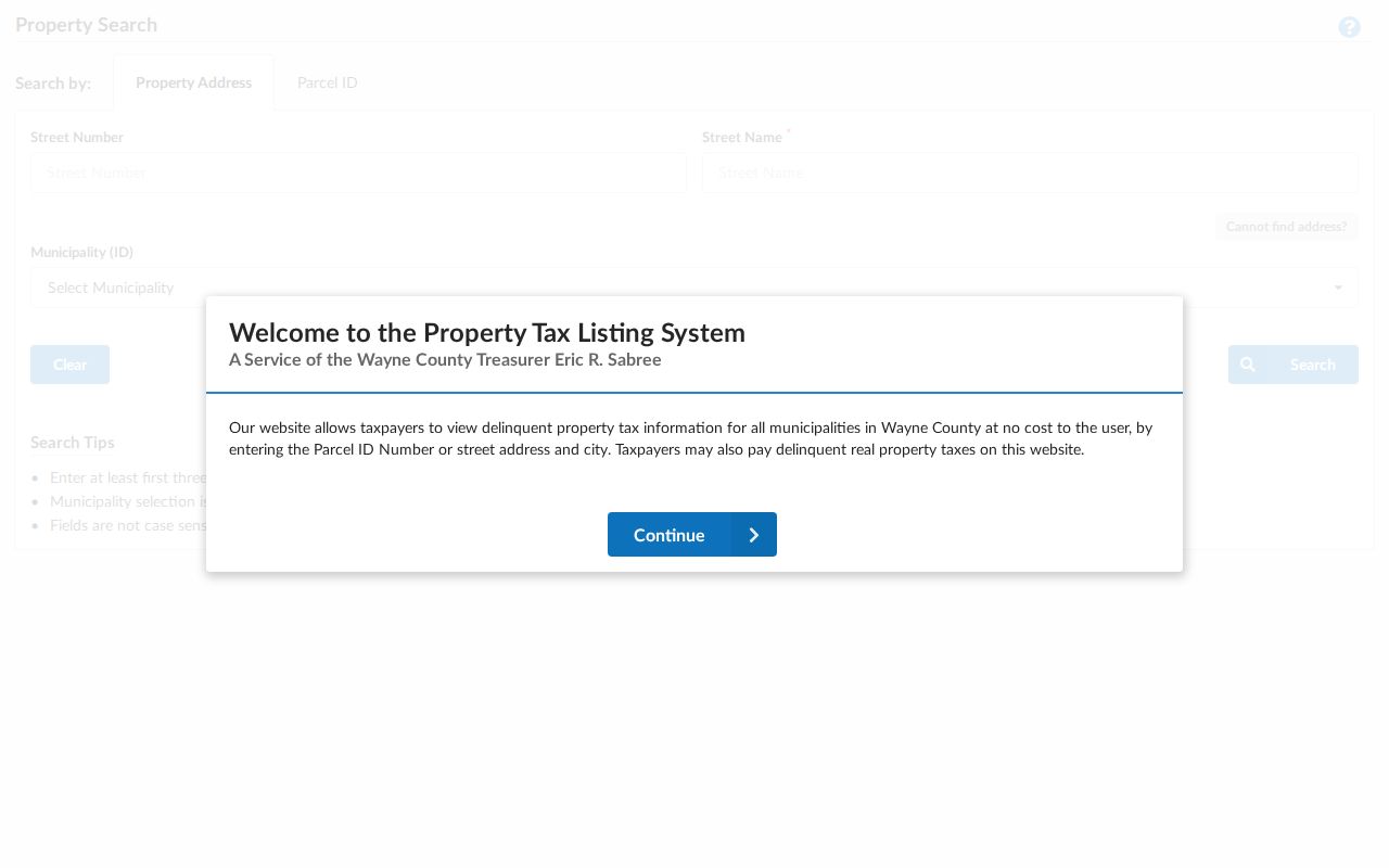
The Treasurer view is useful for a tax-account and parcel lead, not a list of people who occupy a road.
Brownstown BS&A Street Search
Brownstown Township BS&A identifies the municipality as Brownstown Township, Wayne County, Michigan, uid 415. Its categories include All Records, Assessing, Building Department, Delinquent Personal Property, Miscellaneous Receivables, Tax, and Utility Billing. Search modes include address, name, parcel number, utility account number, miscellaneous-receivables customer ID, invoice number, and building record number. Address mode can expose a street address or number and an advanced range ending in a second number. Parcel number is the stronger key once the tax result supplies it.
| BS&A control | Input or option | How it helps on a street | Limit |
|---|---|---|---|
| Record category | All Records, Assessing, Building, Tax, Utility and other published modules | Limits the record family before searching | Visible modules can vary by Brownstown publication choice |
| Search-by | Address, name, parcel number, account, invoice, or building record number | Selects the key already known | Name mode is not occupant proof |
| Street address or number | Text, with an advanced address-range option | Finds a situs address or public range | Exact required behavior was not exposed in research |
| Parcel number | Text | Connects assessment data to tax, GIS, and deed work | Format depends on the municipal record |
| Map, print, search, clear | Result links or buttons where enabled | Preserves a result and permits spatial comparison | A blank tab is not proof no record exists |
Detailed cards can publish property address, parcel or account numbers, map and print links, owner or taxpayer information, tax year, class, land and legal description, sale history, building details, assessed value, and taxable value. BS&A describes its information as reference-only and directs corrections to the municipality. Record the result date and search mode because the same name can lead to several property types.
Review the Brownstown BS&A property search before using the parcel card.
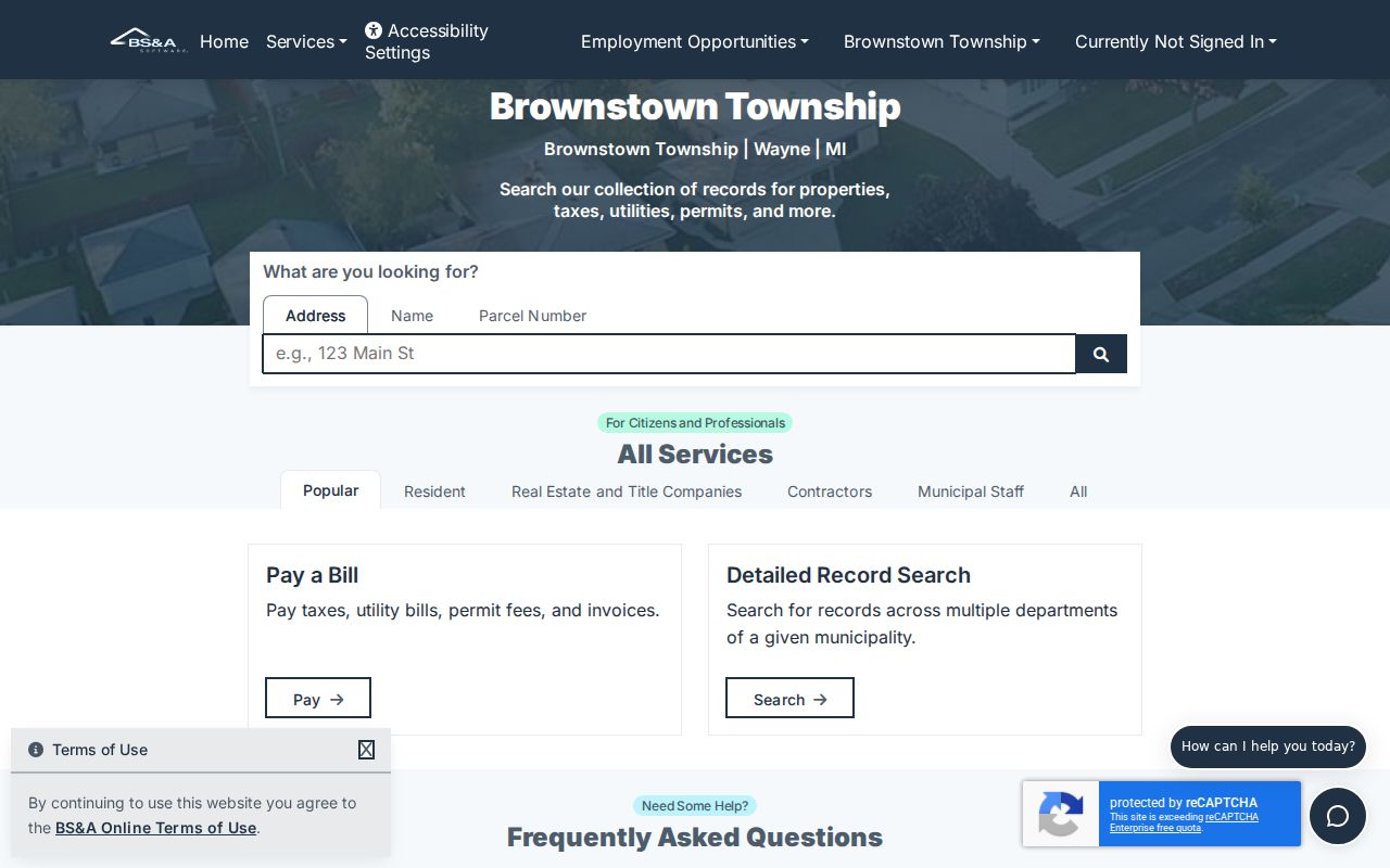
The portal's address, name, and parcel choices make it possible to compare a street clue with a record key without assuming the displayed owner is a resident.
Brownstown GIS Street Parcels
Wayne County Maps and Data provides interactive mapping with pan, zoom, selection, and analysis. Search a street or parcel, click the target geometry, note the parcel ID and address cues, then inspect touching parcels and road continuity. The related Parcel Viewer MapServer exposes parcel and address information, but its layer should be described as a published parcel service, not as a survey, occupancy roll, or complete map of every county condition.
Parcel adjacency can help sort out an old road, subdivision, river or park edge, and municipal change. Compare the map with BS&A and the deed's legal description. A touching lot does not prove a social or family relationship, and a map point is not a legal survey.
Use the Wayne GIS parcel map as the source for this street-level map view.
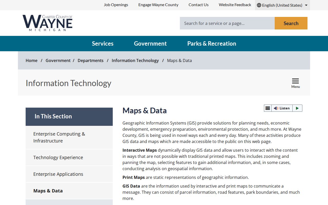
Save the service layer and date with the parcel record so a later result can be checked against the same published map context.
Brownstown Street Directory Records
Address-keyed sources form a chain rather than one roster. The table distinguishes the keeper, the question each record can answer, and the access route that remains when there is no public index. Brownstown Township has not been confirmed to publish a public address-assignment, permit, cemetery, or code-record index. Ask for an existing record by parcel, address, date range, or record number instead of requesting a new list of names.
| Address record | Keeper | What it can show | Access route |
|---|---|---|---|
| Mailing normalization | USPS | Postal city, ZIP, and delivery-location response | Free lookup; postal result only |
| Tax parcel | Wayne Treasurer | Street, parcel, municipality, and tax-account result | Free portal; no ZIP field |
| Assessment card | Brownstown BS&A | Situs, parcel or account, published owner/taxpayer, values, sale and building fields | Free public portal; modules vary |
| Parcel geometry | Wayne GIS | Boundaries, road context, and adjacent parcels | Free map/query; not a resident layer |
| Recorded instrument | Wayne Register of Deeds | Grantor, grantee, date, legal description, parcel clues, and image availability | Free name index; paid or office/mail options for more |
| Address assignment or permit | Brownstown Charter Township | Existing assignment, application, parcel, or approval details as released | Township office or FOIA; public index not located |
An individual can use the Michigan Voter Information Center for that person's own registration information. It is not a public street roster. A defined Qualified Voter File request is a separate controlled process with redacted fields and should not be used to turn a road search into a bulk list.
Brownstown Deed Search by Street
The Wayne County Register of Deeds public search is free for grantor and grantee name searching. Its free results are an index and do not allow document-image viewing or printing. Start with the current owner or title party found through a parcel record, then search that name as both grantor and grantee. Record the instrument type, recording date, document number or liber/page, county, legal description, parcel reference, and whether an image or copy is available. A liber/page is a historic book-and-page reference used to locate a recorded instrument.
Follow the grantee backward to the prior grantor and watch for quitclaim deeds, survivorship deeds, land contracts, mortgages, releases, probate transfers, plats, and boundary changes. The Register says records date to January 1, 1960, while another current Register statement refers to post-1986 online-image availability. Treat that as an access discrepancy to confirm for the particular document. A name in the index alone cannot identify a present occupant.
Open the Wayne deed index to begin the grantor and grantee search.
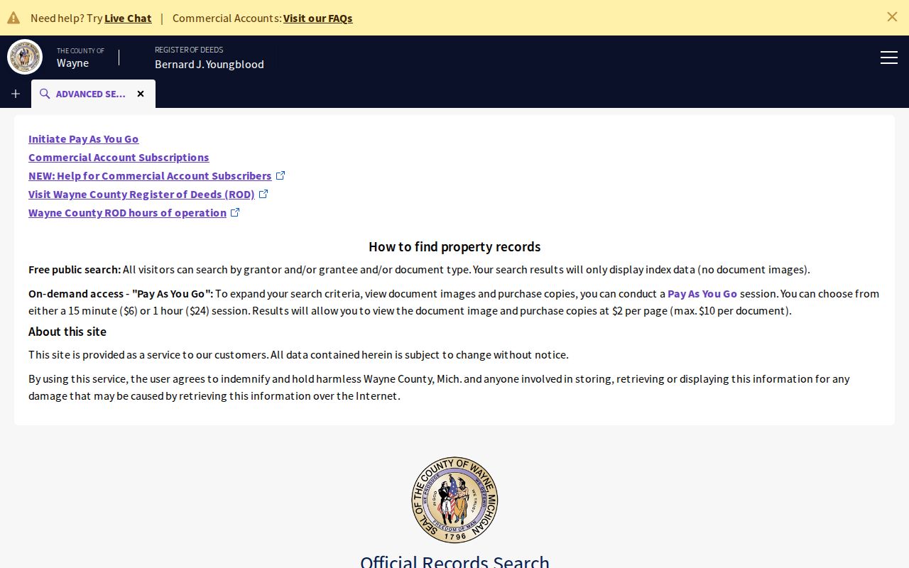
The public index provides the starting point for a dated title trail, while the legal description helps bridge changes in street addresses or parcel numbers.
Brownstown Deed Image Access
When a name-only index needs a street, legal-description, parcel, tax-ID, or liber/page search, use the Register's paid On-Demand route, an office visit, or a mail request. On-Demand lists a 15-minute session for $6 plus fees, accepts a United States credit card, and can allow expanded search fields. Images may be viewed and printed at $2 per page. Office property research is listed at $5, with copies at $2 per page and certified copies at $10 per document. Appointments have been required since October 1, 2025, so confirm the current route before going to the office.
Mail research is listed at $15 per address, plus copy and certification charges, and needs a concise property or instrument description and payment under the current instructions. The Register's 2026 fee update also calls for checking the instrument-specific first-page charge before paying. Use an image or office copy only when a fuller legal description, signature, notary detail, or attachment is necessary for a lawful title or historical question.
Review the Register of Deeds search and copy options before ordering a record.
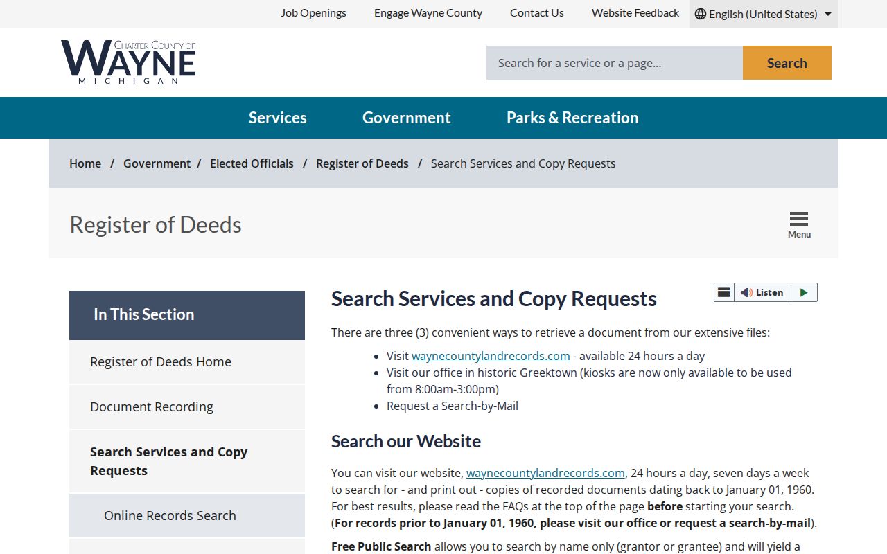
The fee and access page separates free indexing from expanded searches, images, office work, and mail requests.
Brownstown Street Record Roles
Several labels can appear beside the same parcel. Keeping them separate prevents a street result from saying more than the record supports. Brownstown's live parcel-card labels for distinct mailing fields were not confirmed in the text research, so inspect the current card before treating a displayed field as a mailing address.
- Parcel
- A defined property unit used as a strong key across assessment, tax, map, and deed records.
- Situs address
- The physical location of the parcel, which may differ from where tax notices are sent.
- Owner or grantee
- A title party shown in a deed or property record; a transfer can lag the date of an index.
- Taxpayer or mailing recipient
- The account or notice recipient, which can differ from the title party and situs address.
- Plat
- A recorded subdivision map that can identify lots, blocks, and changes when a street address fails.
- Criss-cross directory
- A historical volume arranged by street and house number, useful after the current parcel trail is dated.
An occupant is a separate, time-specific fact. Do not combine an owner, taxpayer, mailing recipient, historical directory household, and resident unless independent records support that connection.
Brownstown Address-Assignment Records
Brownstown's FY2023 budget identifies address assignments, certificates of occupancy, plan review, building and zoning permits, and new business registration as administrative categories. For a known street or parcel, request an existing address-assignment log, permit or building index, site-plan packet, planning or zoning agenda, or certificate-of-occupancy index by address and date range. Ask for electronic copies and segregable non-exempt fields. A request for records is not a request to create a directory.
Michigan FOIA applies to existing, sufficiently described non-exempt records and can involve search, review, separation, copying, and mailing costs. A normal response period is five business days, with one written ten-business-day extension. The exact Brownstown FOIA coordinator, fee schedule, and request form were not found in official sources, so verify the township's current routing before submitting a request. Note: A permit or complaint can show an administrative record, not who lived at the address.
Brownstown's Fragmented Street Story
Brownstown began as one of the original nine Wayne County townships, but its historical footprint changed. That history explains why a road or legal description may be filed under a name other than today's township label. Sources disagree on whether Brownstown was designated April 5 or April 12, 1827, and the first township meeting is dated May 28, 1827. Keep the source and date rather than silently choosing one version. For an older parcel, search road variants, nearby cross streets, subdivision, lot or block, township/range/section, and the municipal label in use at the time.
- 1842: A portion was added to Monguagon.
- 1961: Gibraltar formed.
- 1964: Rockwood incorporated.
- 1965: Woodhaven and Flat Rock incorporated.
Search Brownstown, Monguagon, Gibraltar, Rockwood, Woodhaven, and Flat Rock as a historical cluster. Postal labels can also point to Flat Rock, Rockwood, Romulus, Trenton, or Riverview. Those places are search variants and jurisdiction clues, not interchangeable modern boundaries.
Brownstown Street Search Numbers
Small portal limits affect address work. Wayne Treasurer recommends at least three street-name letters and accepts non-Detroit parcel IDs with 14 to 16 characters, without spaces or dashes. Its municipality selector can resolve a postal-city mismatch, but it has no ZIP field. The inspected Wayne GIS parcel service reports a maximum record count of 2,000 and supports published parcel or address queries. These are search limits, not evidence about a person or the full extent of a road.
Note: A no-result can reflect street spelling, suffix, parcel format, a past parcel number, or municipality selection rather than absence.
Limits of Brownstown Street Directories
A Brownstown street directory can connect a road to public parcel, tax, title, permit, and historical sources, but it cannot establish every person at a property. Driver and vehicle records are protected, postal routing is not proof of presence, and a map or neighboring parcel does not show a relationship. Voter information has its own controlled routes and protected-address rules. Stop when a source signals a substitute address, a redaction, or an access limit.
Lawful use. Brownstown Township address records support personal, civic, title, and family-history research. Do not use a street result to stalk, harass, intimidate, impersonate, or harm anyone.
For older street-order household leads, the Brownstown Township city directory collections explain the regional criss-cross and library routes. Note: Keep the record type, source date, jurisdiction, and confidence level beside every address result.