
Brownstown Township Block Records
A nearby-property question is best handled source by source. Wayne GIS shows parcel geometry, selected parcel attributes, and road context. Treasurer and assessment records can supply published tax or property data. Deed instruments can resolve a legal-description question, while maps, directories, and planning packets can add a historical date. None of those sources is a complete household directory. A parcel edge shows location, not family, friendship, co-residence, or current contact.
| Brownstown-area source | What it can show around a block | Access and limit |
|---|---|---|
| Wayne GIS parcel viewer | Touching parcel geometry, road continuity, and published parcel or address attributes. | Free map and query tools; not a relationship map or legal survey. |
| Wayne Treasurer and Brownstown BS&A | Street, parcel, municipality, and published assessment or tax-account context. | Free portals; owner or taxpayer fields do not establish an occupant. |
| Wayne County Register of Deeds | Recorded parties, instruments, dates, and legal descriptions. | Free name index; expanded search, images, office, or mail routes can differ. |
| 1893 Wayne County atlas | Landowners, roads, waterways, section references, and former geography. | Digitized map pages; historical context only. |
| Directories and newspapers | Date-specific household, address, notice, or road clues where a collection covers the place. | Library or collection-specific; exact local runs are incomplete. |
| Township planning material | Address assignment, site-plan, zoning, or permit context if a releasable existing record exists. | Office or FOIA route; no public township index was located. |
Use the smallest area and date range needed. A surname, parcel account, mailing recipient, deed party, and occupant each describe different roles. For a block question, the reliable outcome is a source trail that lets the reader distinguish those roles rather than a bulk list of Brownstown Township neighbors.
Brownstown Township Parcel Lookup
Wayne County Maps and Data provides the starting point for the adjacent-parcel method. Search for the target street or parcel, select the property, and preserve its parcel ID, address, visible legal-description cues, map date, and source layer. Then inspect the touching parcel shapes and road names. The inspected service is a parcel and address layer, so its geometry adds spatial context without proving title, occupancy, zoning, environmental conditions, or a personal relationship.
Target address → selected GIS parcel → touching parcel geometry and road names → individual Treasurer or BS&A cross-check → legal description and deed instrument when needed.
- Locate the target address or parcel in the GIS viewer and record the selected parcel information before opening nearby results.
- Inspect each touching parcel and the connecting road names, then note a boundary, park, cemetery, river feature, subdivision, or historic road only when the map actually shows it.
- Cross-check a needed parcel one at a time in the Treasurer portal or Brownstown BS&A, using municipality and parcel ID to avoid a postal-city mismatch.
- Use a Wayne County Register of Deeds instrument and legal description to resolve a split, combination, or boundary question that the map cannot answer.
- Move to the Brownstown Township street directory only when the task becomes a full named-street record trail rather than the immediate block.
Open the Wayne GIS parcel viewer to see the map tools used for selection and context.
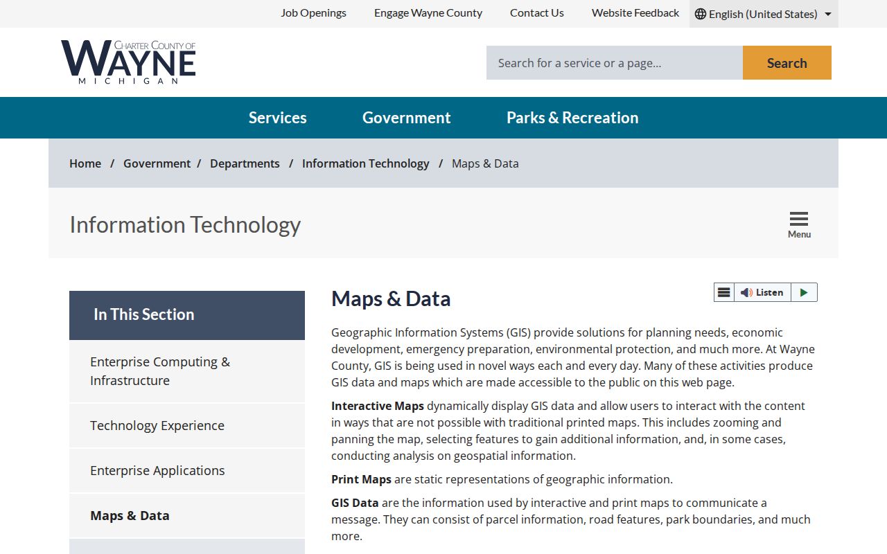
The GIS result becomes stronger when the selected parcel ID is compared with the tax or assessment record and, for a title question, the recorded legal description.
Brownstown Township Record Roles
Brownstown Township property research is easier to audit when the labels remain separate. The Treasurer portal searches by street number, street name, municipality, or parcel ID, with Brownstown Twp available in the municipality selector. BS&A can search by address, name, or parcel number and may publish property, tax, sale, building, utility, or permit modules. A blank module does not prove that no record exists, and a name result is not a finding that someone lives at the property.
- Situs address
- The physical parcel location used in assessor, tax, and GIS searches. It can differ from a mailing address.
- Owner or grantee
- A title party shown in a deed or published assessment record. Transfers, trusts, or entities can make it different from an occupant.
- Taxpayer
- The party associated with a tax account or bill. That account role may differ from the deed owner.
- Mailing address
- The address used for notices or tax bills. It may be outside the township and is not the situs location.
- Occupant
- A person actually living at the address. Neither a parcel card nor a tax result proves this role by itself.
Street suffixes, directions, old road names, and split or combined parcel numbers can create a false no-result. Search the road without its suffix where the Treasurer instructions allow, retain the original postal city, and compare the municipality and parcel geometry before treating nearby records as the same location.
Brownstown Township Research Institutions
No authoritative township-wide inventory of neighborhood associations, subdivision groups, or block clubs was located. The local institutions below are research routes for history, maps, directories, newspapers, and public records, not evidence that a household belongs to an organization. They are useful when a parcel question becomes a date-specific search for a road, cemetery, historic family, or former municipal name.
| Institution | Brownstown-area use and access |
|---|---|
| Brownstown Historical Society | Local history, early geography, cemetery leads, and an online database with unverified field coverage. The museum is listed as open the second Saturday monthly, 1–4 p.m.; private tours are by request at brownstownhistory@gmail.com. |
| Trenton Veterans Memorial Library | Brownstown's identified home-library route, at 2790 Westfield Road, Trenton, MI 48183, 734-676-9777. Its genealogy access includes local-history and database leads. |
| Downriver Genealogical Society | Brownstown Times and Downriver newspaper digitization. Phase One was reported searchable at the Society Library, with more than 210,000 pages scanned by September 2025. |
| Library of Michigan | City directories, gazetteers, maps, microfilm, and statewide collections. Catalog and publisher coverage should be checked for the exact locality and year. |
| Detroit Public Library Burton Historical Collection | Detroit and Wayne directories, land and probate indexes, and genealogy resources. A Detroit directory does not guarantee Brownstown coverage. |
| Wayne County public-record offices | Clerk, Register of Deeds, Treasurer, and GIS routes connect present parcels to former jurisdictions through records with different access limits. |
Open the Brownstown Historical Society source before relying on its database or museum material. The captured page is a local-history lead rather than a complete present-day directory.
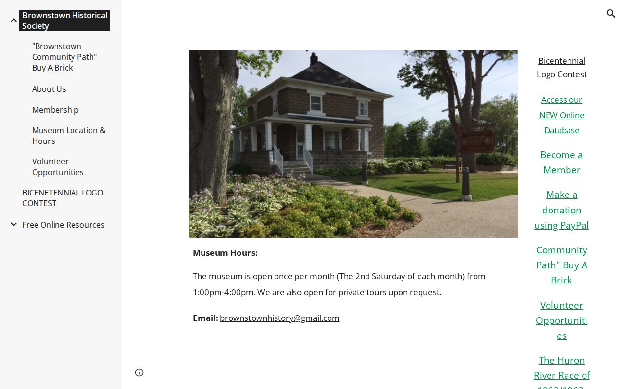
A museum, newspaper, atlas, or directory clue should be recorded with its date and collection, then checked against an appropriate parcel, deed, vital, or other independent record.
Brownstown Township Records History
Brownstown Township is not a simple rectangle on a current map. A portion was added to Monguagon in 1842. Gibraltar formed in 1961, Rockwood incorporated in 1964, and Woodhaven and Flat Rock incorporated in 1965. Those changes help explain why an adjacent road, directory, deed, or census item may use a different place name even when it concerns land historically tied to Brownstown.
The Historical Society places the first township meeting on May 28, 1827. Official local sources disagree on whether the township's April 1827 designation fell on April 5 or April 12. Preserve the source and its date rather than choosing a single version, especially when a family, road, or parcel record uses an early Brownstown label.
For a historic block, search Brownstown, Monguagon, Gibraltar, Rockwood, Woodhaven, and Flat Rock with the road, subdivision, legal description, and date. The 1893 Wayne County atlas can bridge a township, range, section, landowner, road, or water feature to a later parcel search. It is not a modern parcel map, and a historical line should not be placed on a current property without GIS and deed confirmation.
Brownstown Township Postal Records
Nearby postal labels can create another kind of boundary question. Flat Rock, Rockwood, Romulus, Trenton, and Riverview occur in Brownstown-area address research, but a postal city is a mail-routing label rather than a township finding. The county ZIP map is dated September 2019 and describes postal geography, not parcel-level municipal limits. Keep postal city, ZIP, township, municipality, parcel ID, and source date as separate fields.
For an address with a neighboring postal label, start with USPS normalization, then use the Treasurer municipality filter, Brownstown BS&A property card, and GIS point. A shared road or ZIP does not mean the nearby parcel belongs to the same government unit. This distinction is also useful for a historic directory entry, which may print a postal city that differs from the municipality used in a later tax record.
Note: The current school attendance-boundary map was not located in the research, so a school district must never be inferred from a ZIP or postal city.
Brownstown Township Voter Records
Michigan Voter Information Center is for an individual checking their own registration, polling place, districts, and ballot information. It is not a public street-by-street roster. A Qualified Voter File request is a separate, controlled process that uses the requested jurisdiction, date range, data type, format, purpose, payment, and signature. Its released fields and protected fields are governed by the state process, and an address record should not be turned into a statement about a person's political preference.
Precinct data can give dated geography without identifying a household's choices. A Wayne County 2024 results file listed 2,410 registered voters for Brownstown Precinct 1. That is a precinct-and-date number, not the township population, a block count, or evidence that any named person participated. Precinct, school, service, ZIP, and township lines can all differ, so record the election date and jurisdiction with any aggregate result.
Brownstown Township Neighbor Privacy
Some information should remain a limit, not a research challenge. Michigan's Address Confidentiality Program gives eligible participants a substitute address and mail forwarding. Protected-address voter records and preregistrants also receive special safeguards. A substitute address must not be reverse-engineered through parcel maps, deeds, voter material, nearby property records, or any combination of sources. Driver and vehicle personal information, signatures, full dates of birth, ID numbers, financial details, and sealed court information are also not block-research tools.
Lawful use. Use Brownstown Township records for lawful personal research, family history, title questions, civic context, or consumer safety. Do not use parcel, directory, voter, or map material to stalk, harass, intimidate, or harm anyone, and stop at every protected-address boundary.
Use the minimum date range, area, fields, and number of names needed. A returned tax bill, directory entry, deed party, voter record, or postal label can be old, partial, or associated with a different role. Keep source, date, and record type beside the result, then mark any unverified identity link as possible rather than presenting it as current residence.
Brownstown Township Neighbor Check
Official parcel and record sources identify their custodian, date, scope, and access limits. Commercial neighbor-listing tools are a separate category that may be stale, merge people with the same name, or omit the record context needed to assess an address. For a block question, compare the official parcel geometry with an assessment or tax result and, when title matters, a recorded instrument. Prefer a library, atlas, or newspaper source for historic context rather than treating a current listing as a past record.
| Source category | Best use for a Brownstown block question |
|---|---|
| Official parcel, tax, and GIS sources | Locate a parcel, test municipal context, and preserve the source date and published geographic attributes. |
| Recorded instruments | Check title parties, instrument dates, and legal descriptions when a parcel split or boundary needs documentation. |
| Libraries, archives, and historical institutions | Find date-specific roads, maps, directories, notices, and historical labels without claiming a current household connection. |
| Commercial neighbor-listing category | Do not treat an unverified listing as a record. Compare any lead only against the appropriate official or institutional source. |
Geographic proximity is useful for understanding roads and parcel boundaries. It is not proof that Brownstown Township neighbors are related, live together, belong to the same group, or have current contact with one another.