
Brownstown Township Address History Sources
One Brownstown Township address can leave different records in different eras. Begin with the current parcel, legal description, and situs address, then use a recorded instrument trail for title and a dated directory or census record for households. A mailing address, taxpayer, owner, grantee, and occupant are different roles. Do not merge them unless the source itself establishes the connection.
| Source | Years or period | Where held | What it can show |
|---|---|---|---|
| Wayne Register deed index | Search page describes recorded documents from Jan. 1, 1960 | Public name index, On-Demand, office, or mail | Grantor, grantee, instrument, date, document number or liber/page |
| Online deed images | Current Register wording also refers to records after 1986 | On-Demand or copy route | Image availability for a particular instrument, subject to access rules |
| City and criss-cross directories | Runs vary by publisher and place | Library of Michigan and regional holdings | Household, street, occupation, owner-renter, or phone patterns when printed |
| Federal census | 1790 through 1950 public as of 2026 | Archives and library databases | Household evidence in its enumeration place |
| Newspapers, probate, and cemeteries | Date and collection dependent | Downriver collections, courts, libraries, and archives | Life-event and family-history leads that need corroboration |
The difference between the 1960 deed-index statement and post-1986 image wording is an access discrepancy, not a coverage promise. Confirm the available index and image for the exact Brownstown Township instrument before relying on it. For a recent title question, the parcel and Register route comes first. For an older household, pair that route with directories, census, and local news.
Start a Brownstown Township House History
Use the present address only as a starting key. Brownstown Township BS&A can search by address, name, or parcel number and may show the property address, parcel or account number, owner or taxpayer as published, tax year, land legal description, sale history, building details, and map link. Its owner name is a property clue, not evidence that a named person lived there.
Next, compare the parcel card with Wayne County Treasurer and GIS information. Preserve the original street spelling, direction, suffix, postal city, municipality, parcel ID, and legal description. Split parcels, combined parcels, plats, and annexations can make a modern number fail in an older record. The legal description, subdivision, lot, block, recording date, and instrument number give the more durable path backward.
Wayne Register Search for Past Households
The Wayne County public search is free for grantor or grantee name searching. Its results are an index or listing, and the free route does not allow document images to be viewed or printed. Search the relevant owner as both grantor and grantee, including initials, spelling variants, married or former names, and entity names. Record the document number or liber/page, recording date, instrument type, stated consideration where shown, legal description, and parcel reference.
Do not treat the free index as an occupancy list. Its strongest use is an ownership-instrument trail. A selected result can expose grantor, grantee, instrument type, recording date, document number or liber/page, county or jurisdiction, and sometimes an address or legal-description reference. Whether an image is public, redacted, sealed, or unavailable must be checked for that instrument.
See the Wayne public-search landing page before starting a name search; it is the source of the free grantor and grantee index.
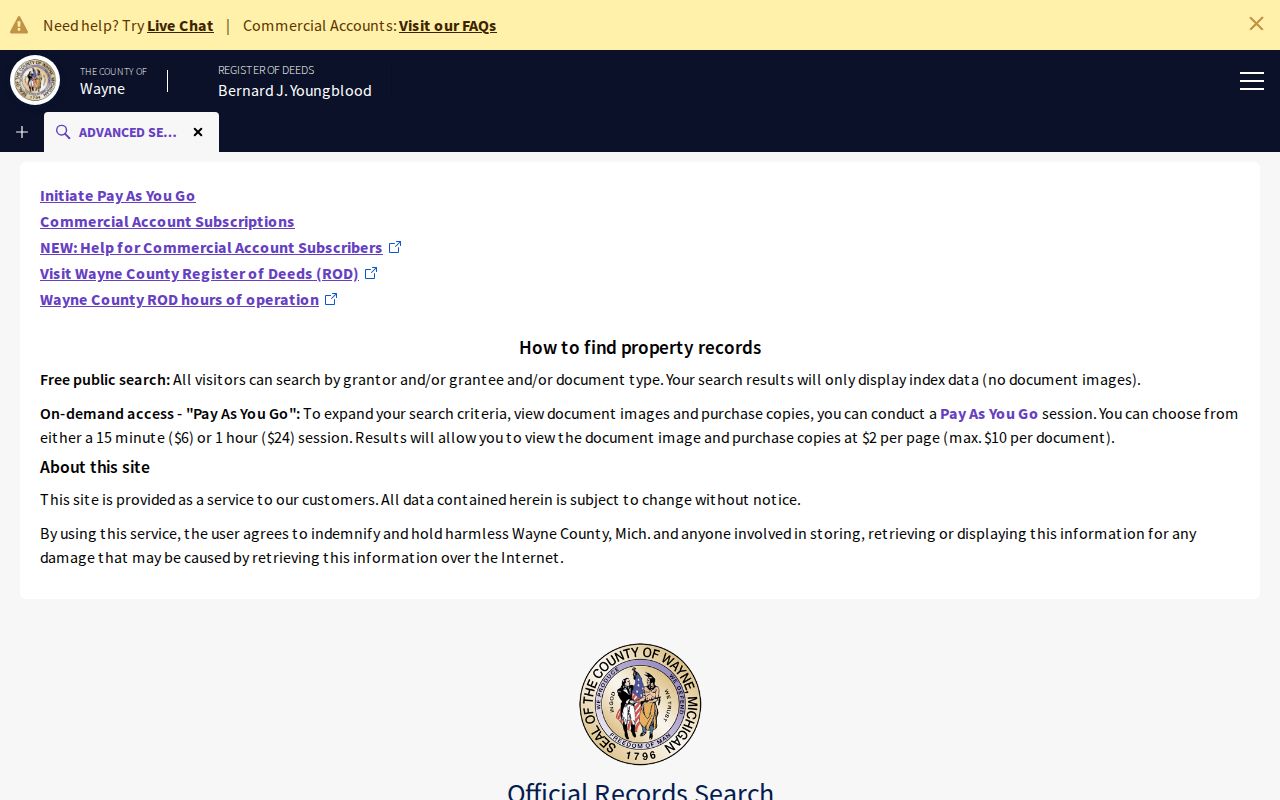
The index makes a title trail possible, but the result fields must still be tied to the parcel, date, and historical jurisdiction.
Follow a Brownstown Township Deed Trail
Title tracing moves backward from the current parcel record. The direction is easy to lose: the grantee receives an interest, while the grantor transfers it. Follow the current grantee to the prior instrument, then identify that party's earlier acquisition as a grantee. Check quitclaim deeds, survivorship deeds, land contracts, mortgages and releases, probate transfers, plats, and boundary changes when they fit the chain.
- Get the current parcel ID, legal description, situs address, and published owner or taxpayer from Brownstown BS&A, the Wayne tax portal, or GIS.
- Search the current and historical title names as both grantor and grantee in the Register index, using the legal description to separate similar properties.
- Record each instrument's number or liber/page, recording date, type, stated consideration where shown, legal-description language, and parcel reference.
- Search the seller or former grantee for the earlier acquisition, then repeat the sequence backward while retaining every municipal name used at that date.
- Use an authorized image, office copy, or mail route only when it is necessary to confirm the next link. Do not infer occupancy from a signature, mailing detail, or title party alone.
- Grantor and grantee
- The grantor conveys an interest in an instrument; the grantee receives it. Their names identify title roles, not necessarily residents.
- Chain of title
- The ordered sequence of recorded instruments used to follow an interest in a parcel backward through time.
- Legal description
- The lot, block, subdivision, section, township, range, or metes-and-bounds description that identifies land more reliably than a reused street number.
Wayne Deed Copy Routes and Fees
On-Demand access accepts a United States credit card. The inspected fee is $6 for a 15-minute session plus fees, and the expanded search can use address, legal description, parcel or tax ID, and liber/page. Full images may be viewed and printed at $2 per page. Interface labels can change, so use the current portal instructions before purchasing access.
The Register of Deeds office is at 400 Monroe, 7th Floor, Detroit, MI 48226. Office research is listed at $5, waived for a search of one's own residence with valid ID; copies are listed at $2 per page and certified copies at $10 per document. Self-service kiosks are available. Appointments have been required since October 1, 2025, with service slots shown at about 8:00 a.m. to 3:50 p.m. A mail search is listed at $15 per address, plus $2-per-page copies and $10 certification, with a detailed property or instrument description and payment.
The Register of Deeds search and copy page sets out the current office, mail, and On-Demand choices.
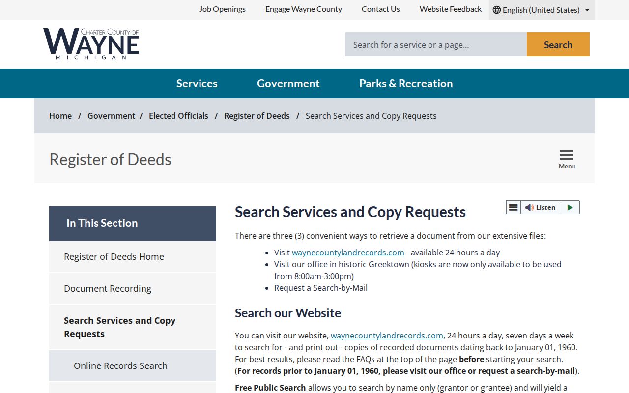
Pick the route that supplies the needed instrument evidence, and confirm current costs before payment because recorded-document charges can vary by document and surcharge.
Brownstown Township Boundary Changes
Historical jurisdiction is a search field. Brownstown was created or designated in 1827, although official sources differ between April 5 and April 12. A portion was added to Monguagon in 1842. Gibraltar formed in 1961, Rockwood incorporated in 1964, and Woodhaven and Flat Rock incorporated in 1965. An address described as Brownstown in an older deed, directory, or census can therefore appear under a successor municipality later.
Search the historical place name alongside Brownstown Township and preserve the date in the research note. The modern township is fragmented, and postal place names can differ from municipal jurisdiction. A legal description, road, township, range, section, or parcel predecessor is a better bridge than changing every older result into a modern city label.
Pair Brownstown Directories With Census
A deed chain follows title, not every household. The Library of Michigan explains that Polk directories can include a surname section with occupation, other household members, ownership clues, and a street section ordered by street and house number. Bresser or criss-cross directories commonly run street, then house number, and may list a head of household, phone, and owner-renter signal. These patterns vary by volume, so inspect the actual page before treating a field as present.
Use a simple dated flow: address and legal description → deed date → directory year closest to that date → census year → obituary, newspaper, probate, or cemetery lead. Federal census records follow a 72-year release rule; as of 2026, 1790 through 1950 are public, and 1950 was released in 2022. A census enumeration place is not always the modern mailing city.
Historical volumes are described in more detail on the Brownstown Township City Directory. Here, use them to test whether a household appeared at the address in a particular year, then preserve the printed page, publisher, year, and access date.
Library Sources for Past Households
The Library of Michigan directory guide identifies Polk runs reaching the late 1800s and Bresser runs especially useful from the late 1960s. Directories are held in 2nd Floor South by city or county, rare books in call-number order, and microfilm or fiche in the 2nd Floor South Microfilm Room. The ANSWER catalog can be searched by a city name plus “city directory.” Exact Brownstown runs were not located, so verify the volume before making a coverage claim.
The same guide names Robinson's, Norton's, Johnson, W.C. Bailey, and Luedder as other publishers, and describes state gazetteers for roughly the mid-1860s to 1931/32. The Trenton Veterans Memorial Library serves Brownstown and supplies genealogy databases, including in-library Ancestry Library Edition and MyHeritage Library Edition. Use the database title, collection, image or page, and access date with every historical claim.
The Library of Michigan directory reference explains the publisher fields and shelf routes behind this historical work.
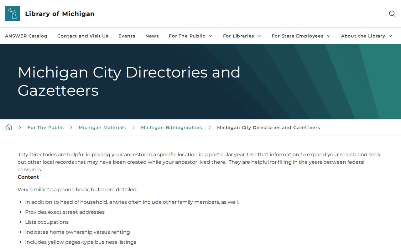
The directory fields can supply a household lead at an address, but neither a missing entry nor a listed owner settles who lived there throughout a year.
Brownstown's 1893 Atlas and Newspapers
The 1893 Library of Congress Wayne County atlas is a digitized 152-page atlas with maps, landowners, roads, waterways, and township geography. It is especially helpful when a legal description survives but a modern address does not. Inspect Brownstown pages one by one and keep the page or image identifier. An atlas is historical land context, not a current directory.
Downriver Genealogical Society's newspaper work includes the Brownstown Times and reported more than 210,000 scanned pages by September 2025. A notice can supply a date, relative, road, funeral, business, or public-meeting lead. Confirm it through a deed, probate, cemetery, vital, or other responsible record before assigning it to a Brownstown Township address.
No Brownstown Sanborn Trail Found
No official Brownstown-specific house-history guide or dedicated Sanborn map series was located in the research. That is a real limit, not evidence that the address has no earlier history. Use the replacement path supported by the sources: current parcel and legal description, Wayne Register instruments, directories, census, newspapers, probate, cemeteries, the Library of Michigan, Detroit Burton resources, Archives of Michigan, and the 1893 atlas.
Archives of Michigan research is organized by county, township, office, record series, dates, and legal description more often than by name. Its Wayne County guide can point to tax assessments, naturalizations, probate files, circuit-court files, and other local-government series. Ask the archive or library staff for the record series that matches the date range instead of assuming an absent online search means no source exists.
Lawful Limits for Address History
Past-address research is for house history, family history, title context, archival work, and other lawful personal purposes. Keep the smallest date range and set of records needed. Do not publish bulk names, infer a relationship from nearby parcels, or treat a returned tax bill, directory entry, deed owner, or obituary as proof of a current occupant.
Lawful use. Records can support a careful Brownstown Township address history, but they must never be used to stalk, harass, intimidate, impersonate, or harm a living person. Stop when a record is confidential, restricted, or not necessary for the lawful question.